|
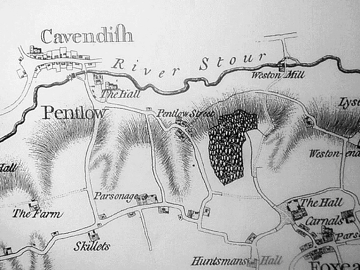
Where WAS Borley Rectory? by Andrew Clarke. Examines historical maps to properly place buildings built on rectory property.
Below, a closeup map of the Pentlow rectory was made almost 100 years before the folly was built just to the west of the main house. |